Project Experience
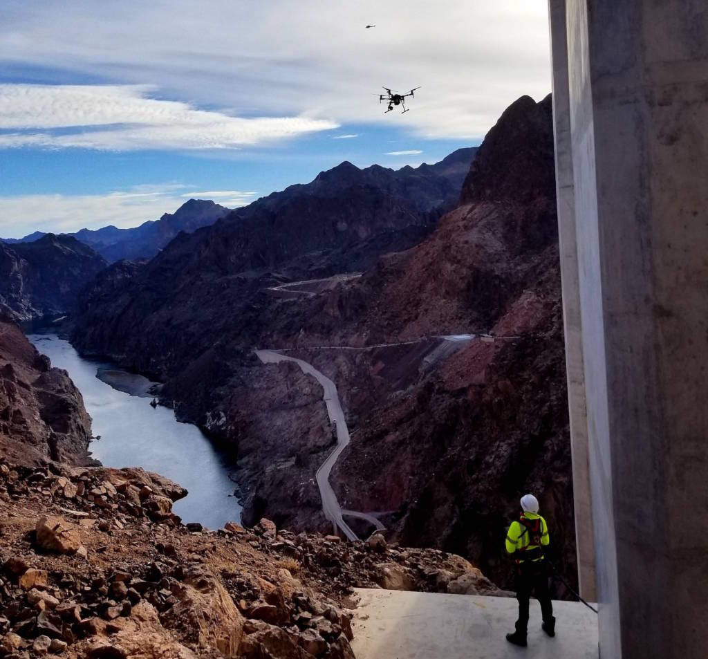
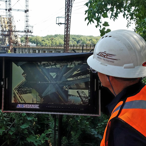
Transportation Projects
- Structural Inspections, Photogrammetry, LiDAR, GIS Processing
Scope Includes
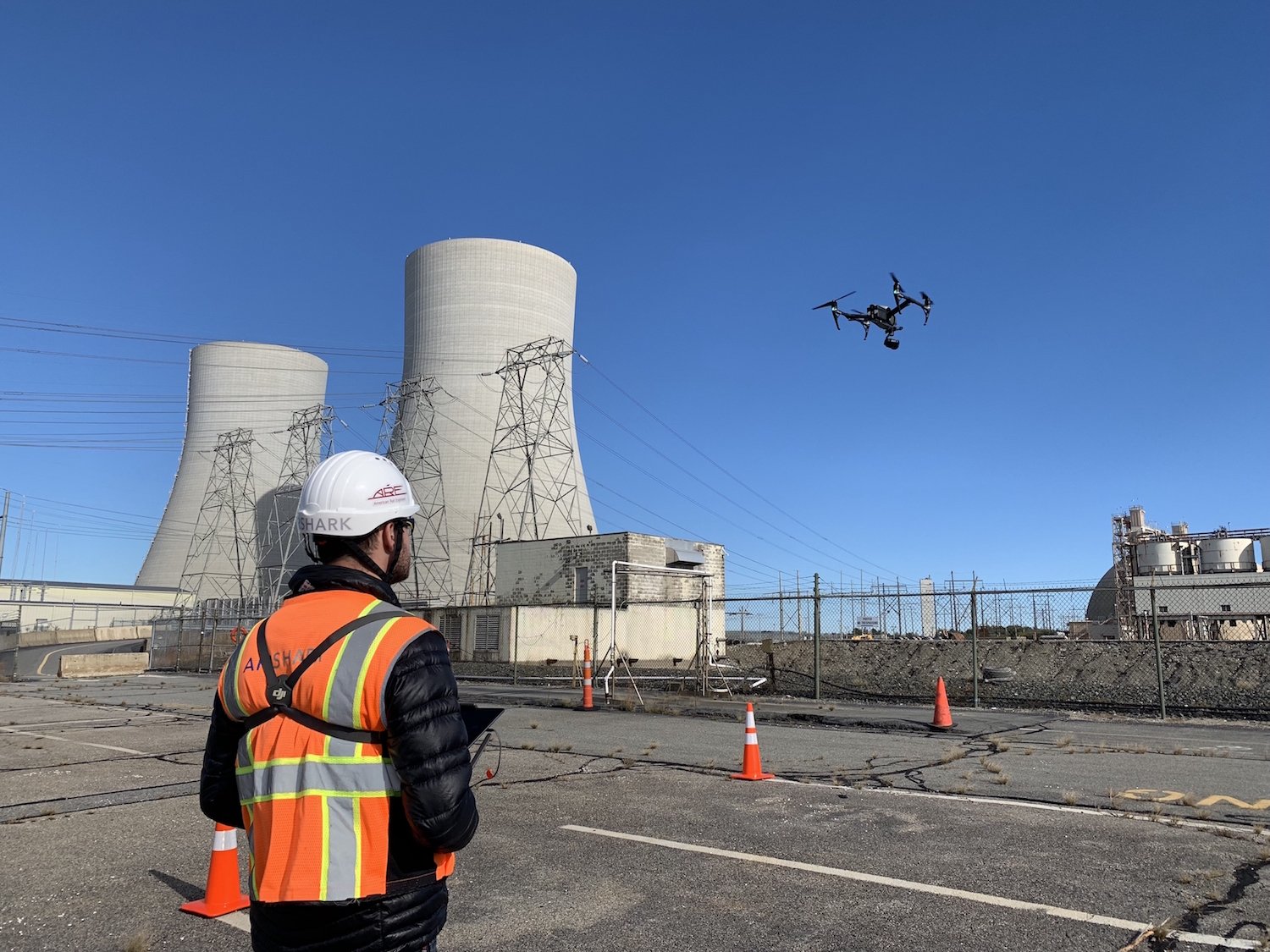
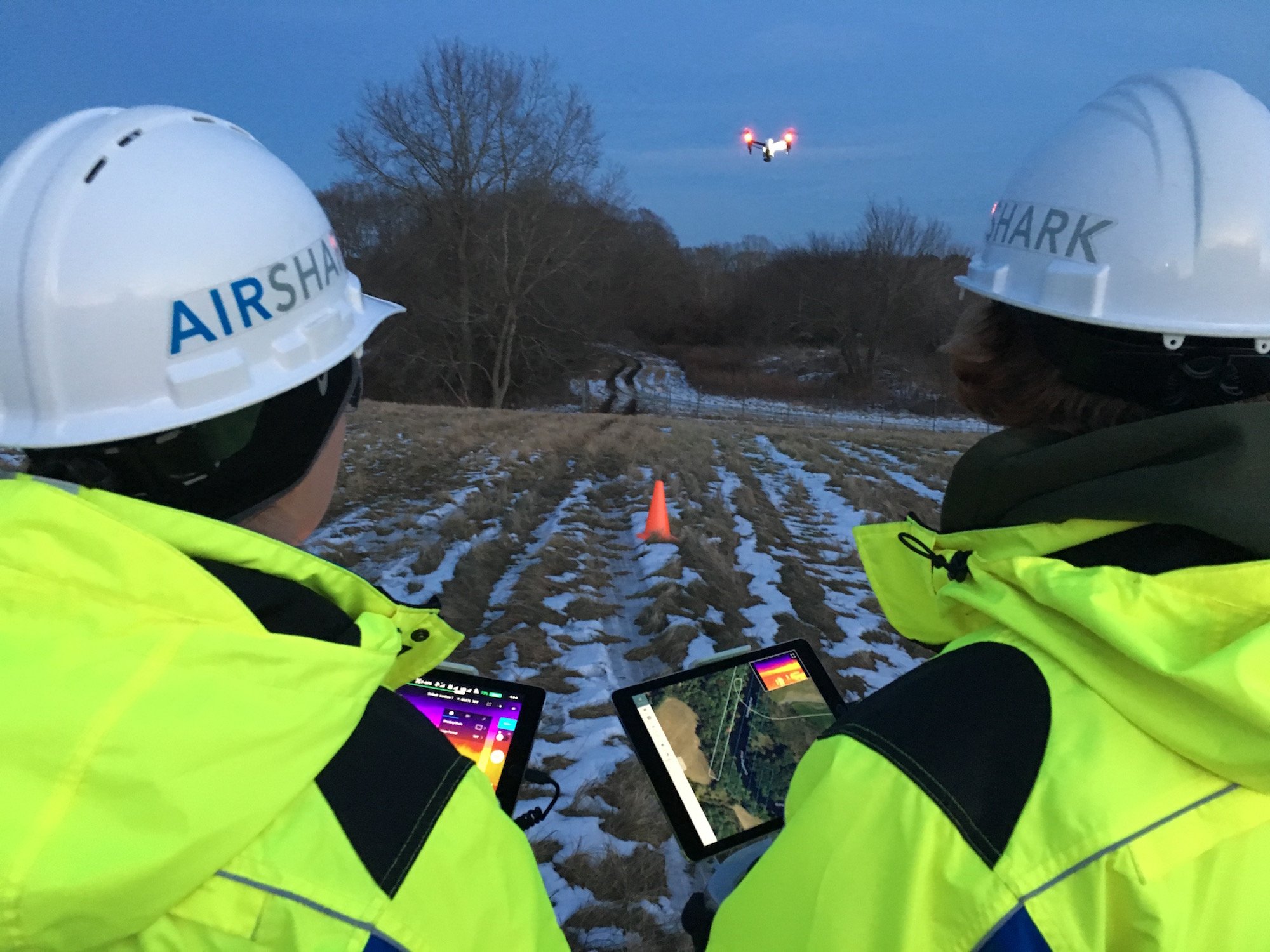
Utility Projects
- RGB & Thermal Inspection, Mapping, GIS
Scope Includes
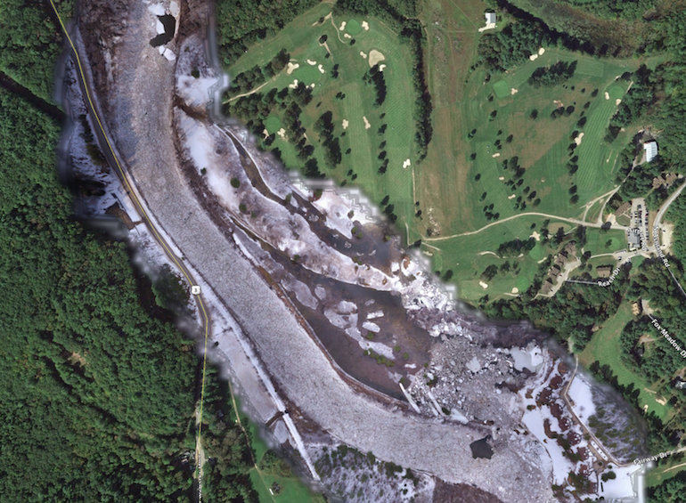
Environmental Projects
- LiDAR, Photogrammetry, Multispectral Mapping
Scope Includes
End-to-End Data Solutions

What Sets Us Apart?
- FAA Licensed Pilots (Manned and unmanned)
- Experienced & Trained UAS Operators
- Fully Insured
- FAA 107.39 Operations Over People Waiver
- FAA 107.29 Daylight Operations Waiver
- Level 1 Infrared Thermography Trained
- Comprehensive Safety Management System
- OSHA Training & Certification
- First Aid & CPR Certified
- Railway Workers Program Trained