More than Just Data
Whether you collect the data or we do, we have the knowledge and expertise to process it:
- Point clouds
- DSM (Digital Surface Models)
- DEM (Digital Elevation Models)
- DTM (Digital Terrain Models)
- Orthophotomosaic
- GIS
- Data consulting services
Our data processing will get you the information that you need in a format that you can work with.

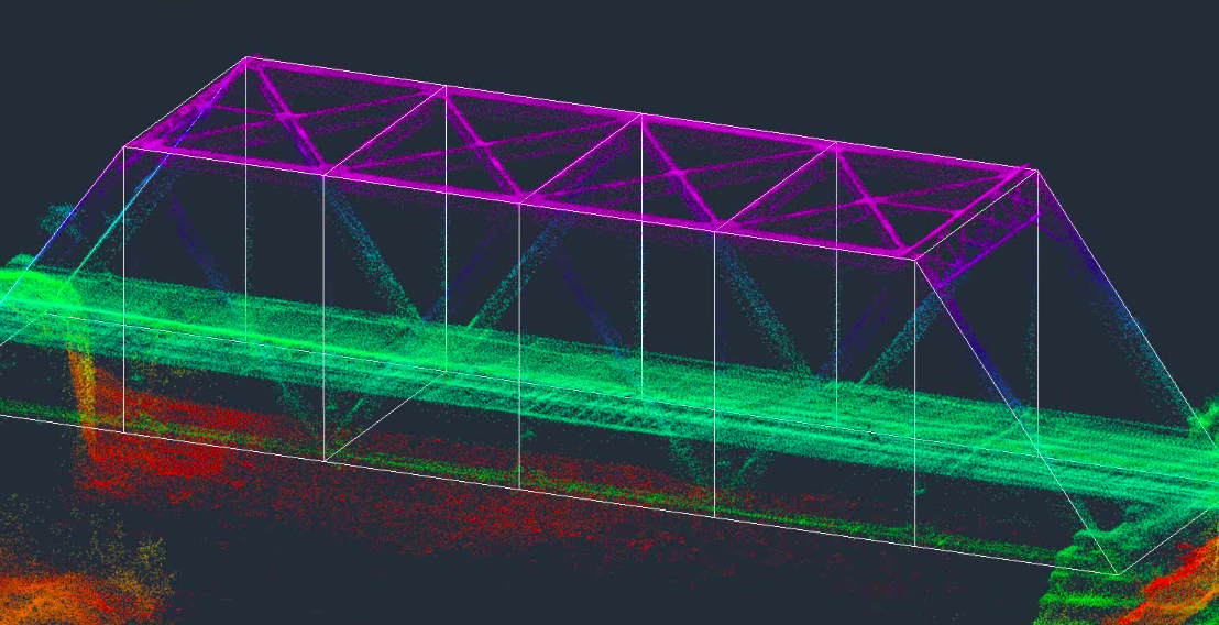
CAD Feature Extraction
Our experienced CAD technicians can take your point cloud data to the next level by doing 2D and 3D feature extraction. We deliver this data in the format that fits your current workflow.
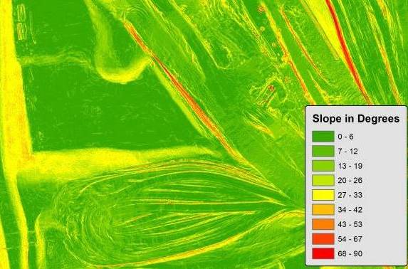
GIS
Our GIS specialists can take your drone mapping data and create GIS products in data sets of all sizes and types:
- Volumetric and stockpile measurements
- Contours
- Utility right-of-way mapping
- Railroad right-of-way maps
- Planimetric maps