Smarter, Faster, Safer
Telecommunication towers require regular inspections and post-storm damage assessments. The content we capture provides actionable information to allow you to work smarter, faster, and safer.
Inspection
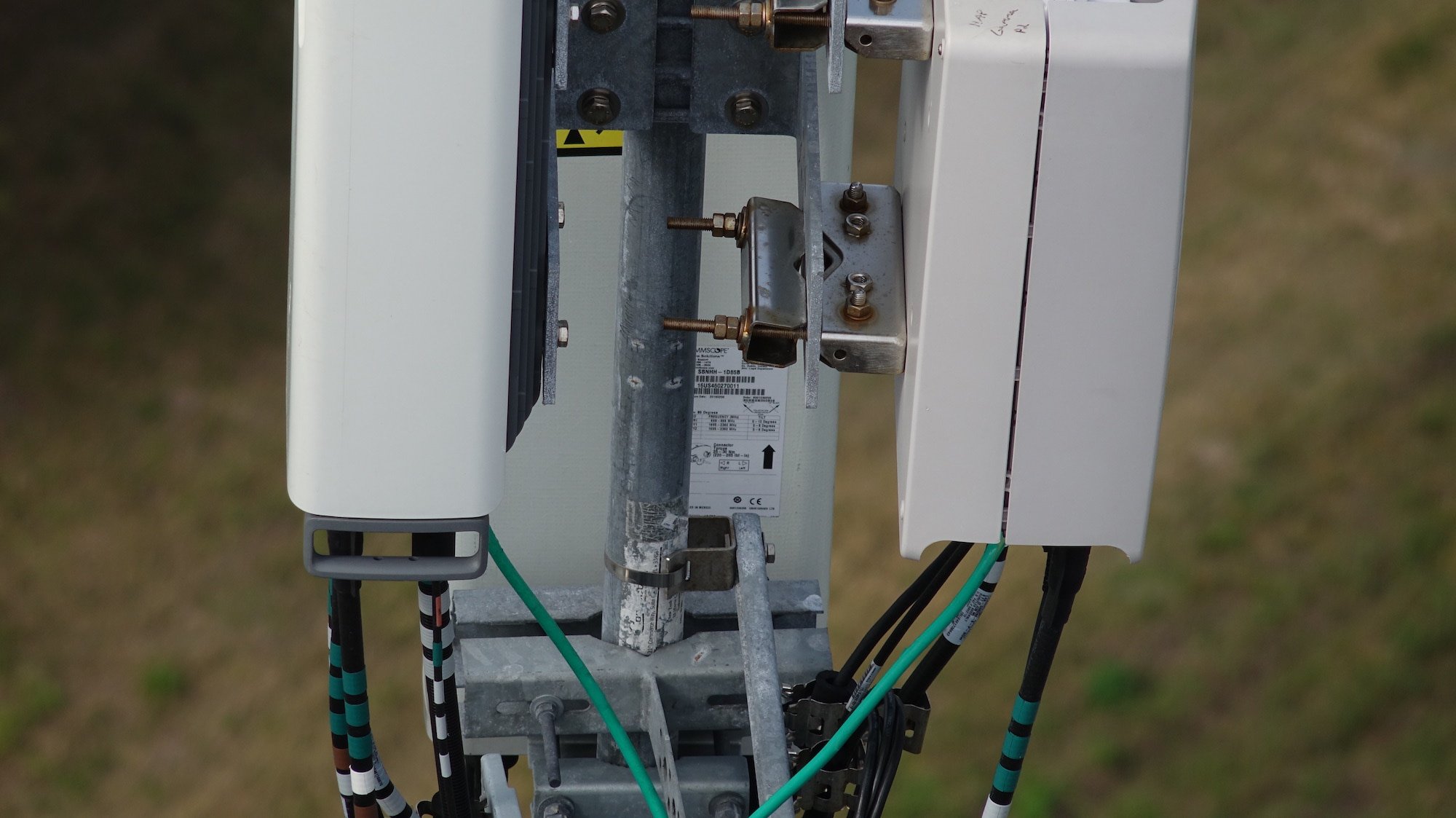
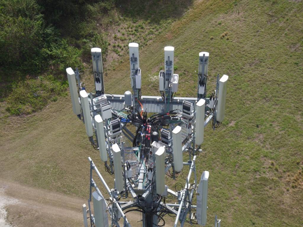
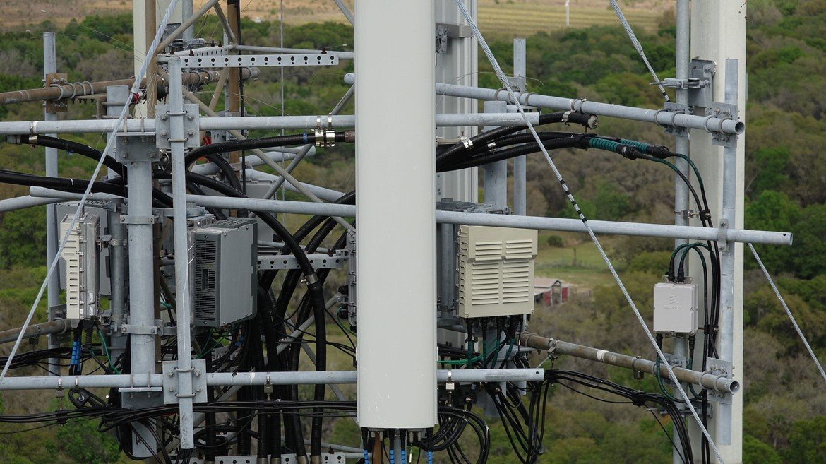
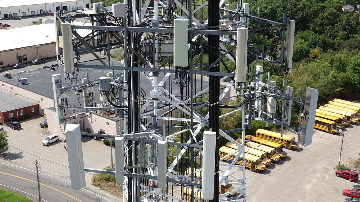
High-resolution detailed imagery using high-zoom cameras for a better look at your assets from a safe distance.
- Geo-tagged, catalogued images
- Builts Planning Support
- 3D models
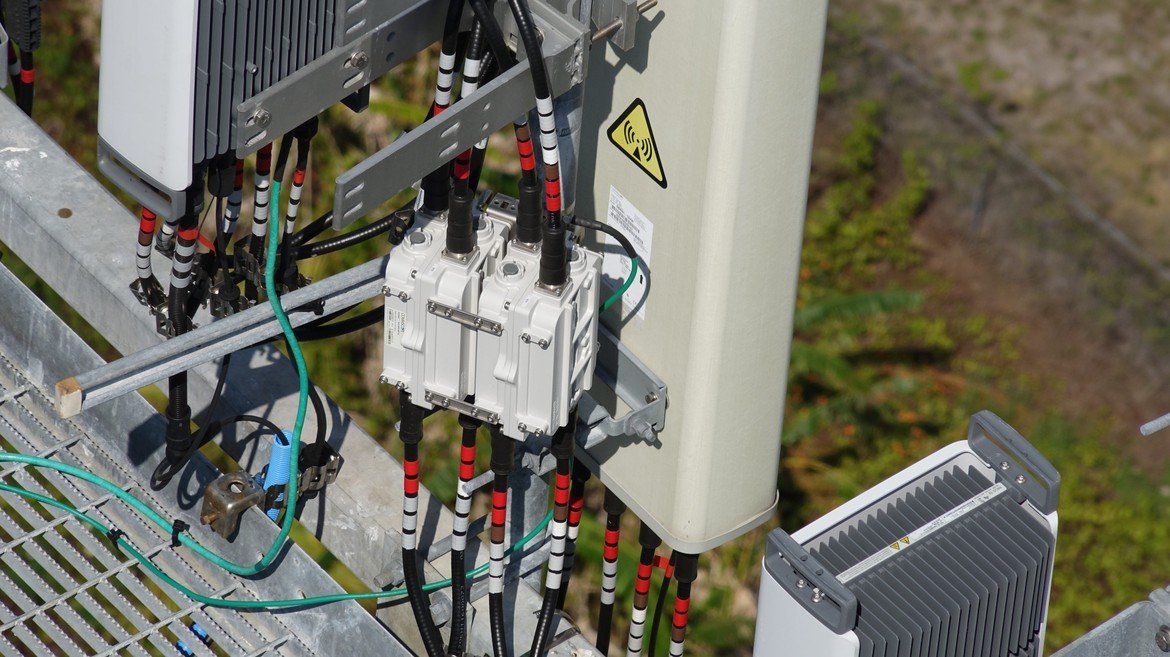
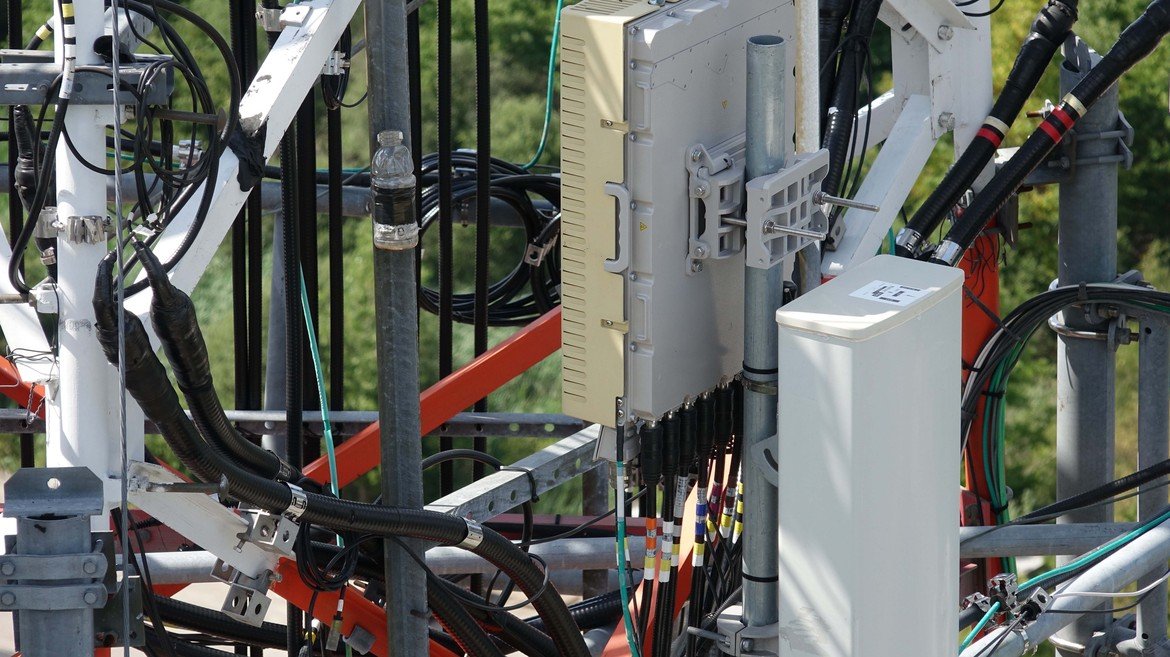
Inventory
We capture high-resolution imagery, providing stakeholders with the inventory information they need to better track their assets.