ARE Corp

Mapping

Advanced Photogrammetry and LiDAR Mapping Solutions for Precise Geospatial Data, Detailed Site Intelligence, and Informed Project Planning
Mapping Services

UAS Mapping Services

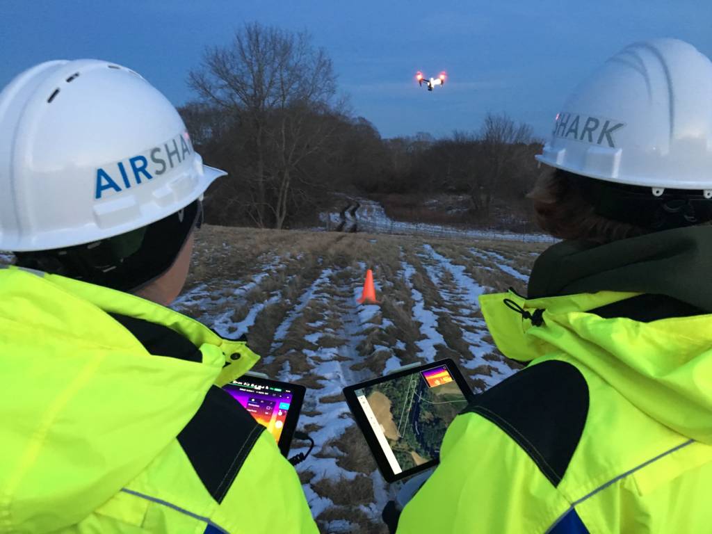
We work with our clients to determine the best solutions for the challenges they face. With top-of-the-line sensors and in-house data processing, ARE provides an end-to-end solution, from data collection to customized deliverables. We assist clients with:

  • Site planning
  • Asset monitoring
  • Right-of-way planning for Rail and Utility
  • Coastal Monitoring
  • Project documentation
  • Vegetation Management
  • Damage assessment and more
UAS Mapping Services
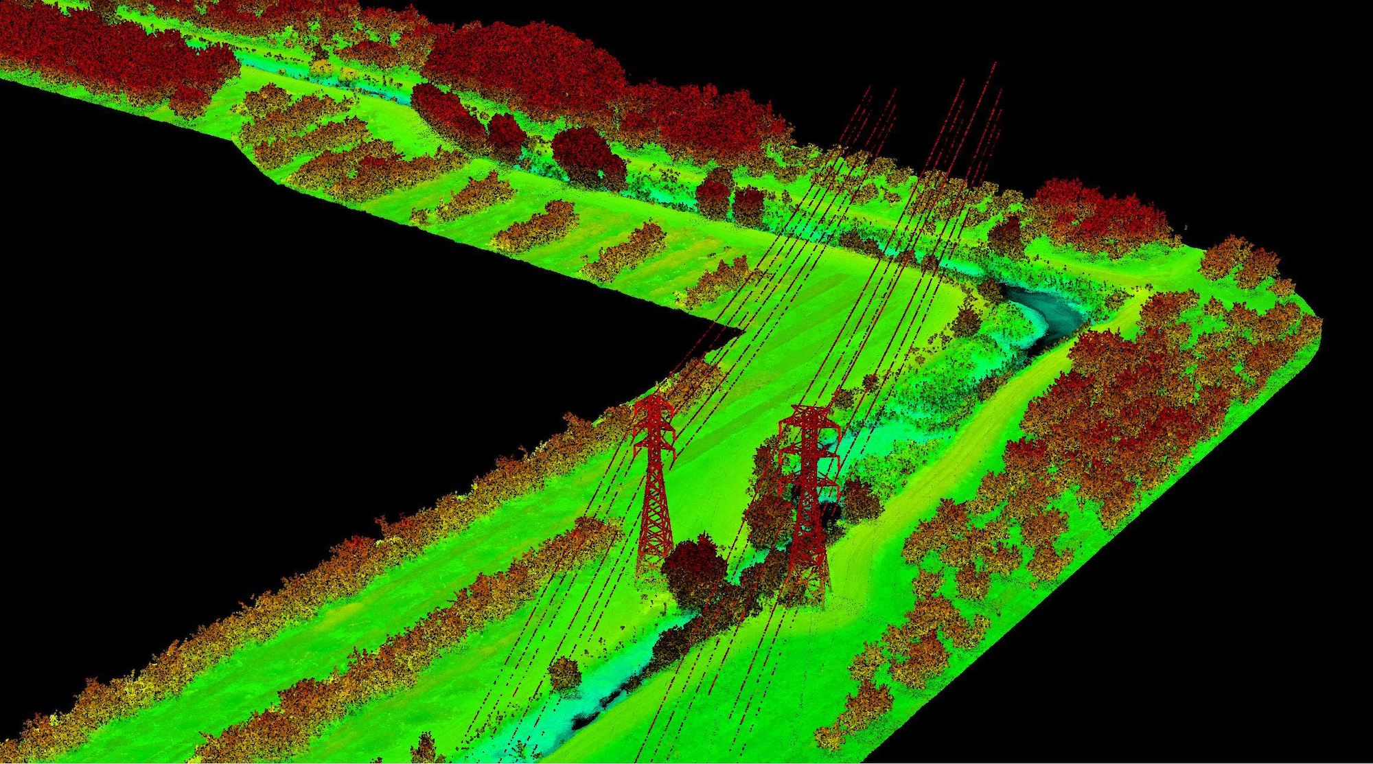
Utility LiDAR Scan
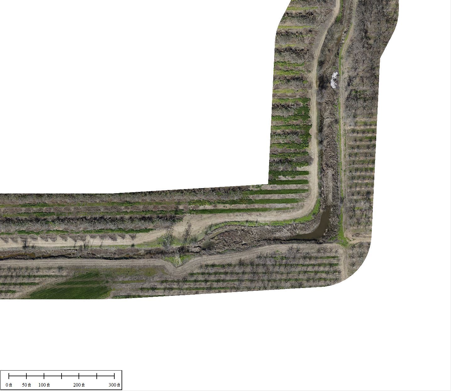
Utility RGB
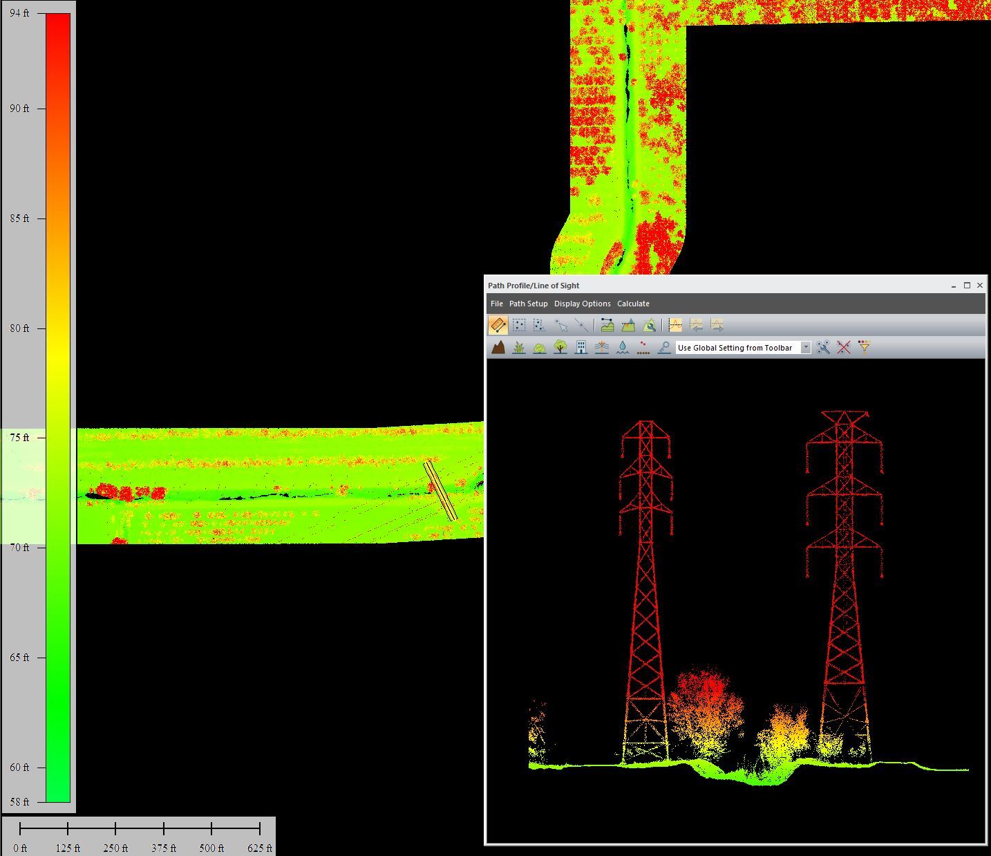
LiDAR Point Cloud Utility
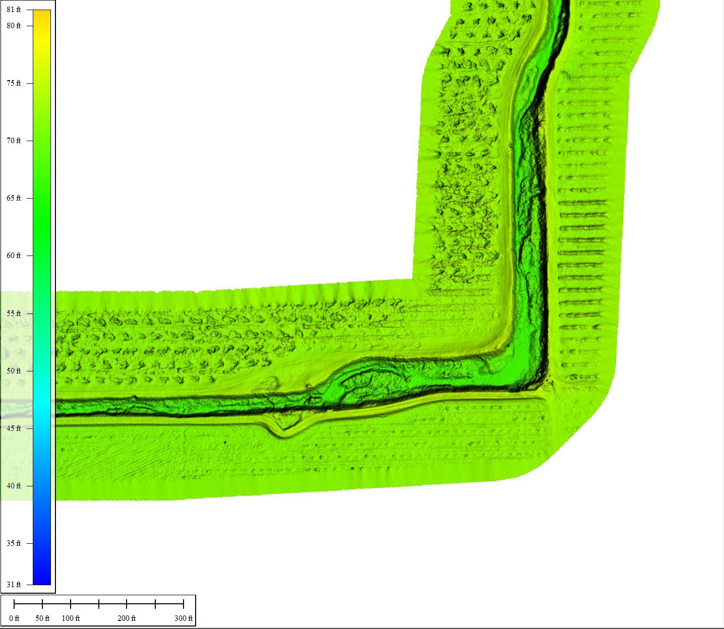
LIDAR DEM
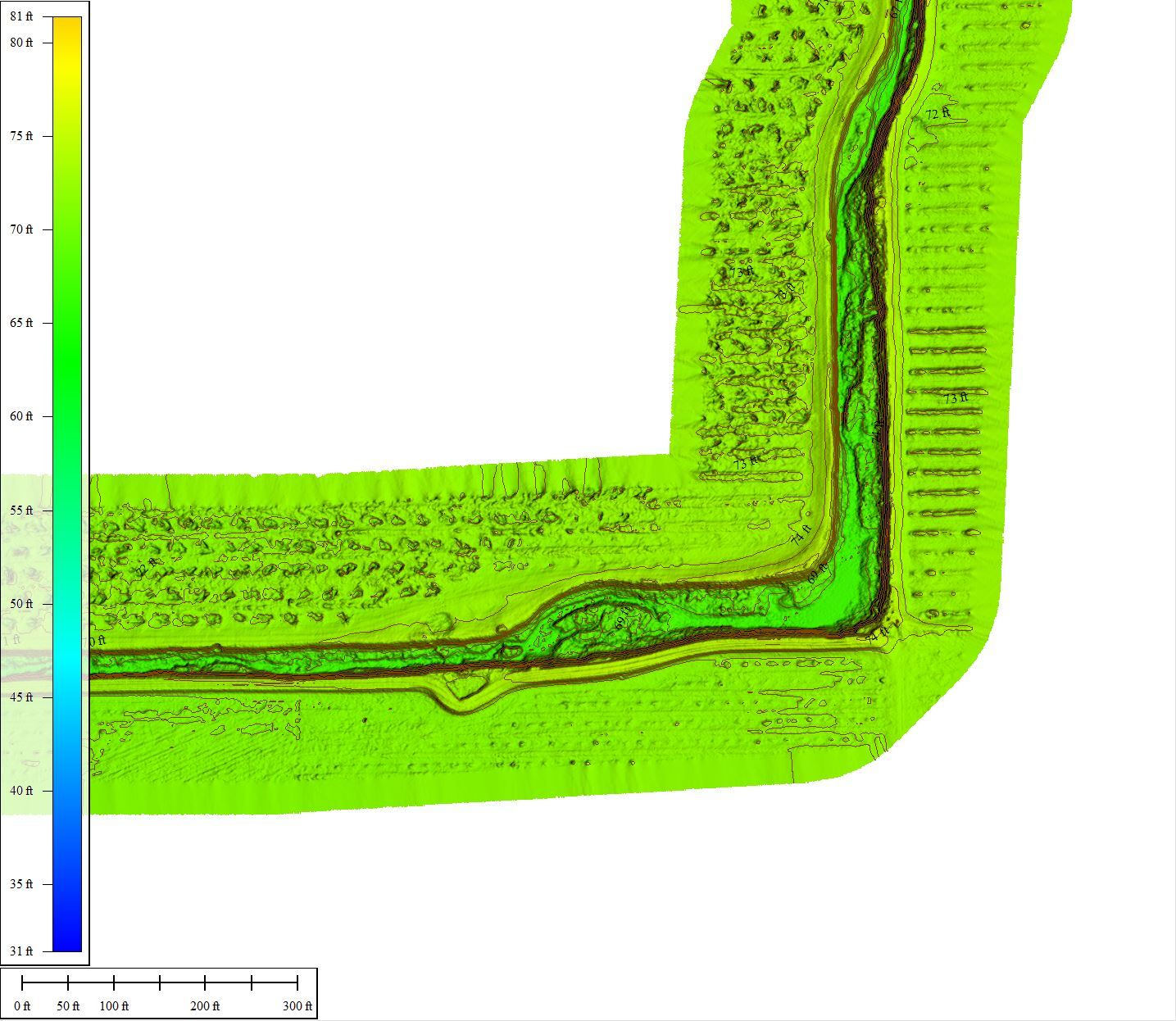
LIDAR DEM contours

LiDAR Services

UAV Light Detection and Ranging (LiDAR) scanning allows for scanning in remote, hard-to-reach areas, while creating data models that exceed the results from traditional methods of LiDAR acquisition. More time efficient than terrestrial LiDAR and more cost effective than using manned aircraft.

We deliver the information to you in a format you can use:

  • DEM (Digital Elevation Model)
  • 3D Point cloud/Mesh model
  • 2D/3D DSMs to measure volume
  • Classified LAS, CAD/Linework
  • or online link to your data
VIEW CASE STUDY

Photogrammetry

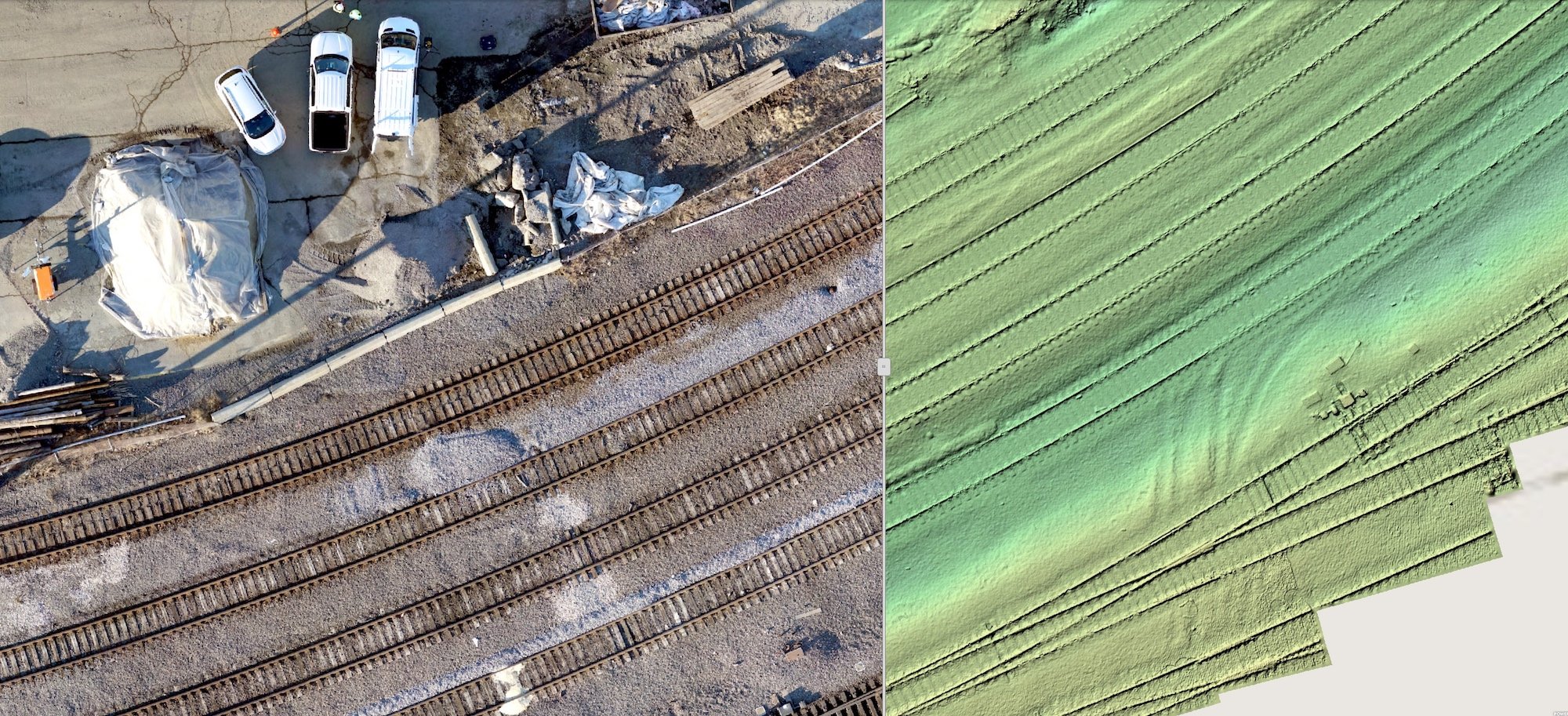
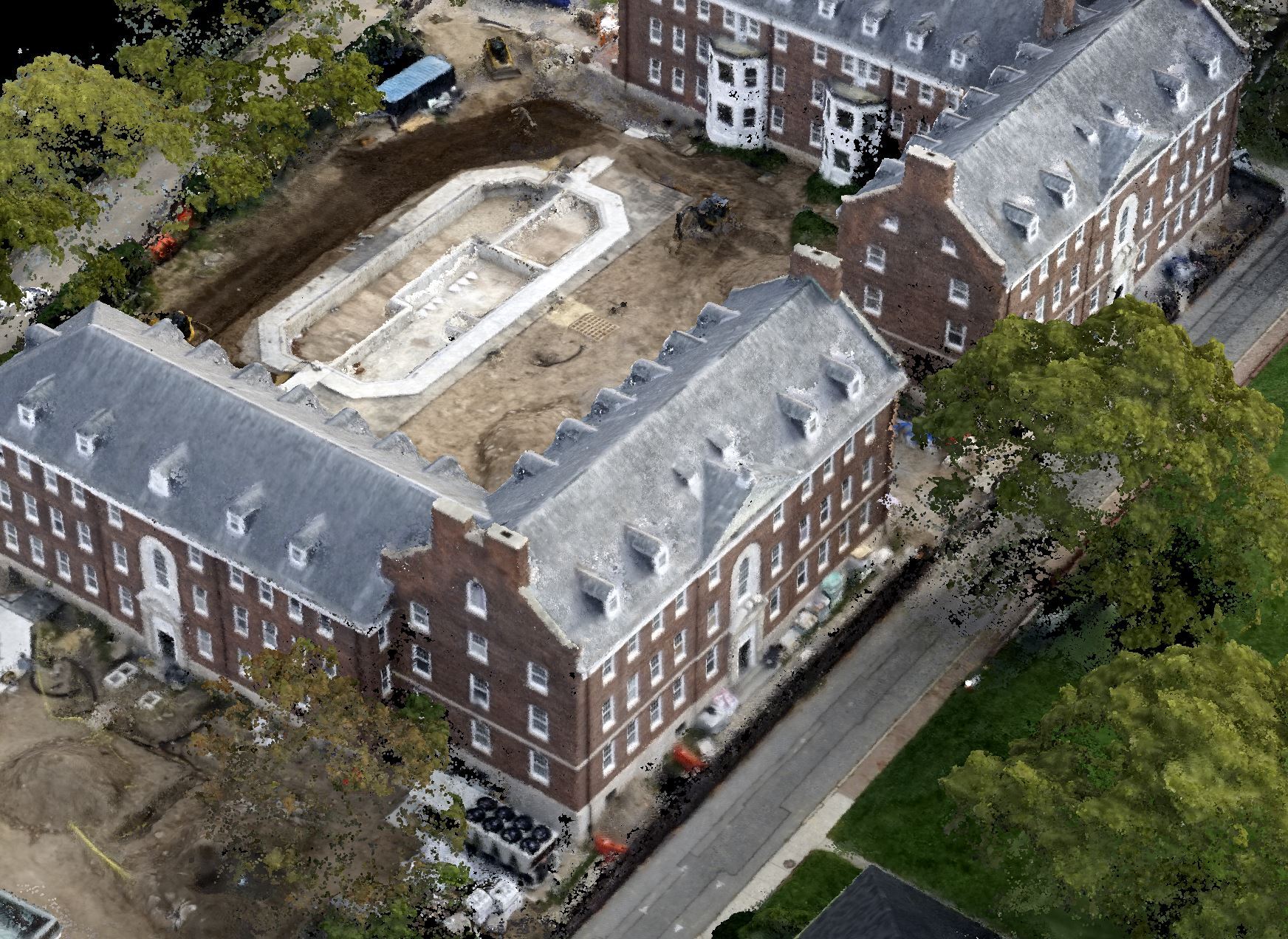
Our highly experienced UAS pilots, data processors, and GIS specialists, provide orthomosaic raster images, 3D point clouds/mesh models, Digital Surface Models, and Contours and Volumes in a format that you can work with. We’ve worked with:

  • Railroad Owners – 3D models of rail bridges and rail yards
  • Waste management facilities – measuring change during construction
  • College campuses – site planning and lighting studies
  • Environmental engineers – tracking coastal erosion
  • Municipalities – measuring flood damage
  • Airport Facility Managers – runway inspection and documentation
WATCH VIDEO
Photogrammetry

Day or Night

Click the icons on the map to interact with the day and night orthomosaic. UAS mapping flights were flown over the college campus at day and at night for this lighting study. The images were stitched together and the data was used to determine where additional lighting was needed. Click the button below to view the full map.

VIEW FULL MAP

Multispectral

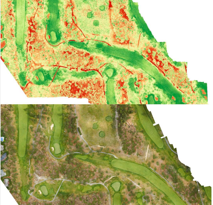
Multispectral images are a very effective tool for evaluating soil productivity and analyzing plant health. Viewing the health of soil and crops with the naked eye is very limited and is reactionary. Multispectral sensor technology allows you to see further than the naked eye. Applications for Multispectral equipped UAS include:

  • Utility right-of-way mapping
  • Railroad right-of-way mapping
  • Agricultural farms
  • Golf course management
Multispectral

Testimonials

"AirShark helped to plan, mobilize, and deliver accurate GIS and LiDAR data for a VELCO site under development. They have flown/mapped this site three times, and we have found the UAS provided data as an excellent source of information to complement our internal planning process"
Andrew Flynn
GISP, VELCO GIS Analyst/Developer
"We imported ARE’s topographic contours into a publicly accessible web map in ArcGIS Online. The ARE data gave us a solid foundation for completing our fieldwork, and clients were able to access our data and follow the progress as it happened in the field. ARE’s data allowed us to quickly and effectively target field observations. Once we were done with the fieldwork, we used ARE’s data and our observations to define drainage area boundaries and gully profiles and ultimately to set priorities for moving ahead with designs to fix some long-standing erosion and drainage problems."
Amy Macrellis
Stone Environmental
"Recently I had the benefit of meeting with and observing the ARE team in action flying a UAV LiDAR coastal wetlands survey project alongside an experienced PLS. The ARE team is a highly professional group with all the required skills to deliver cutting edge, UAV-based results on the most demanding mapping and inspection projects across the U.S. They are setting the bar for the rest of the industry."
Gene Roe
Managing Editor, LiDAR News
"The American Rail Engineers (ARE) flight team provided excellent full service from the planning phase to the delivery of hi-resolution photogrammetry of the NH Port Authority Market Street Terminal project in Portsmouth, New Hampshire. From the simplest to the most complex challenge, ARE understood our vision and provided customized solutions. As a trusted advisor, they managed every step of the process and worked seamlessly with our engineers to provide detailed images for all stakeholders on the project. I look forward to the next opportunity to utilize ARE services in the UAS space."
David Marcotte
Appledore Marine Engineering
"When we needed quick results on aerial survey of a stone quarry in controlled air space, AirShark responded promptly with their existing airspace waivers and network of licensed pilots. 18 hours after we called the mission was complete."
Marshall Rich
Polycor