We Have the Experience
We have the experienced staff, aerial technology, and processing software to provide effective solutions. Our pilots are licensed, insured and certified to operate the UAS equipment. Our GIS experts use a complete photogrammetric workflow to produce products derived from UAS data.
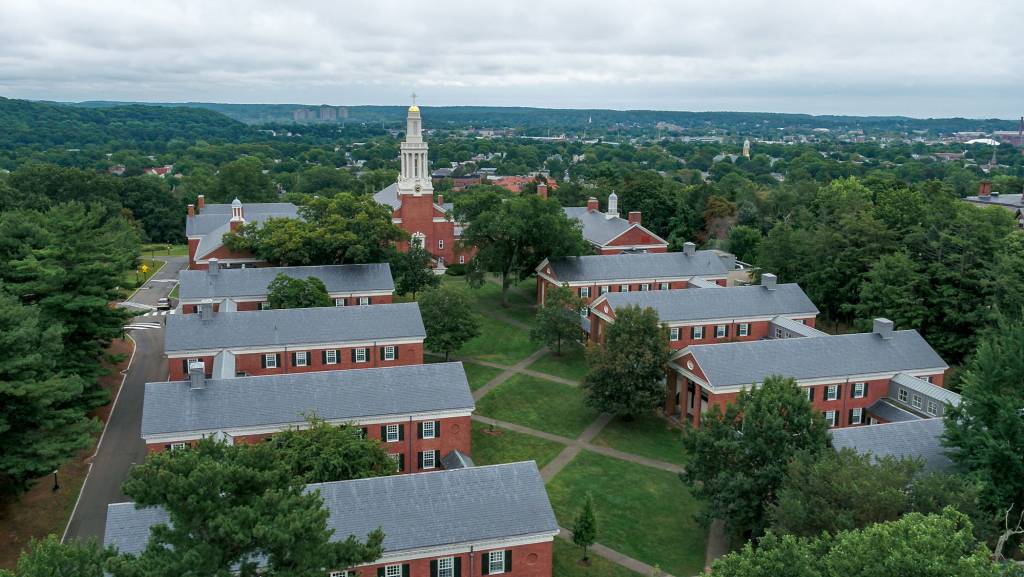
Aerial Mapping for Architectural Planning
We pride ourselves on providing safe and efficient UAS flight operations to protect the safety and privacy of the students, faculty and staff. ARE has worked with several universities providing UAS services, data collection and high-end deliverables to assist in the architectural planning on college campuses. Deliverables include:
- Orthoimagery
- 3D Photogrammetry Point Cloud
- Classified LiDAR Point Cloud
- Digital Surface Model
- Digital Elevation Model

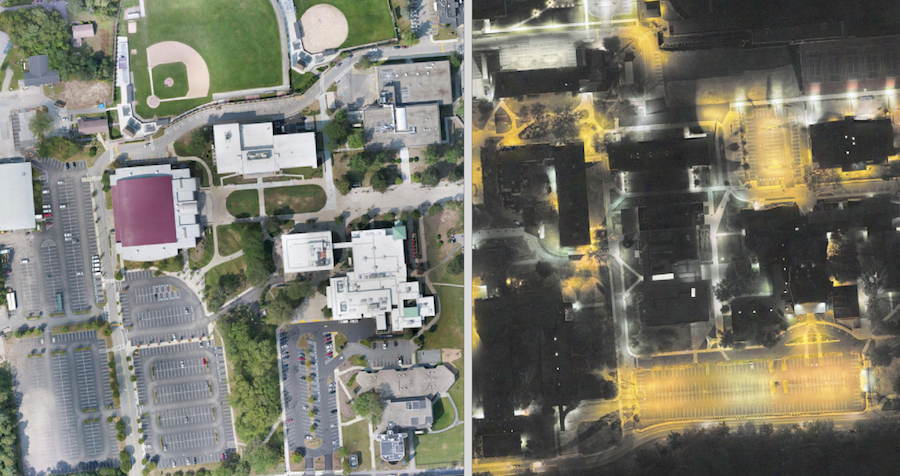
Day and Night
ARE-AirShark has received an FAA waiver under Part 107 to operate outside of daylight hours allowing additional UAS applications such as:
- Lighting studies
- Environmental Thermography
- Search and Rescue
- Emergency response
- Marketing images and video