Construction
Commercial Buildings, Aggregate Sites, Landfills, Infrastructure Construction
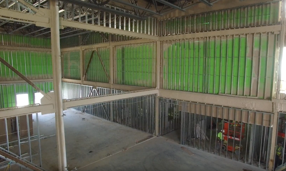
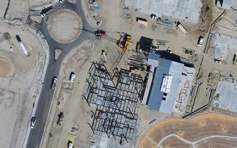
Construction Inspection and Documentation
ARE’s drone services are used by construction companies nation wide for documentation to the benefit of project managers, superintendents, and project owners.
- Progress documentation
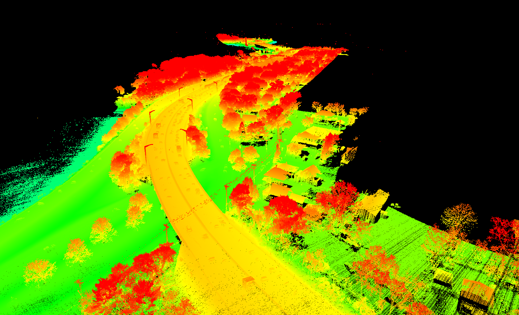
- 3D classified point cloud and digital elevation models for site planning
- Quality control verification
- Heavy equipment asset management
- Construction access investigation
- Traffic change update video
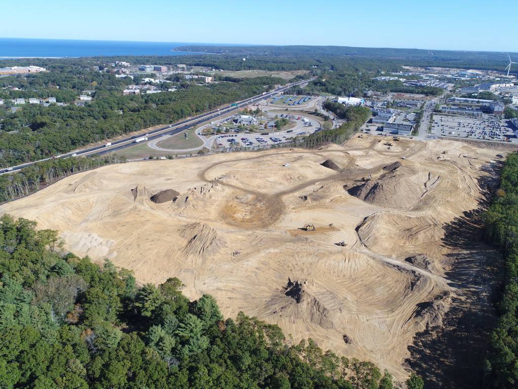
- Orthoimagery and 3D modeling for monitoring stock pile management
- High-definition video and imagery documentation
- Environmental monitoring/regulatory compliance
- As-built surveys
- Thermal roof inspections
Work Site Monitoring
We provide orthoimagery for stock pile monitoring, high-resolution imagery and video to track progress throughout a project; weekly, monthly or quarterly.
- Development Sites
- Landfill Management
- Aggregate Sites
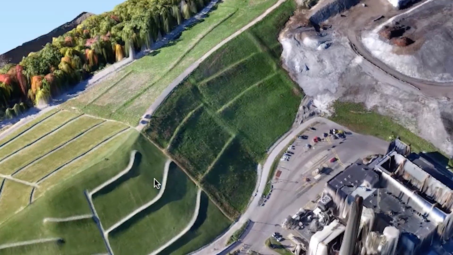
Site Planning
We provide up-to-date, accurate LiDAR data and orthomosaic imagery to better help you plan your next project. We get you the accuracy you need faster and in more detail than traditional methods.
- Digital Elevation Models
- Digital Surface Models
- Classified LiDAR Point Clouds
- Local Traffic Monitoring
- Orthoimagery
Inspections
Our UAS (Drone) services are used by quality control managers and operations managers for regular inspections and post storm assessments (both visible and infrared) throughout the United States.
- Commercial Roofing
- Concrete Structures
- Solar Arrays
- Roadways
- Bridges
